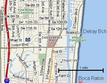
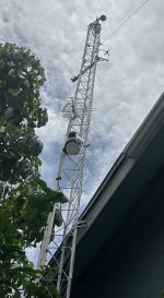
This shot shows our dome cam with weather instruments below. The instruments measure wind speed & direction. (Instruments are unobstructed)
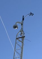
This is the rain bucket measuring device. It is located approx 8ft above the roof line in open space to allow accurate rainfall readings.
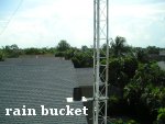
Wireless Vantage Pro instruments are 33ft above ground and above the house & tree lines.
This shot is from ground level facing up. The tower is poured in concrete & mounted to a second floor roof truss heavy duty bracket.
The dome cam can be rotated 360 degrees.
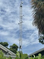
This is a side view of the tower facing west as the sun is setting. This is the primary direction in which the winds will be blowing towards in most hurricane conditions.
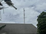
This image is from across the street in the direction that the cam usually faces. What you usually see is where this shot was taken from.
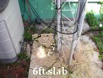
This is the concrete slab that is 6ft deep with rebar steel rods as reinforcement. The tower is heavily grounded as well. The instruments & cam have generator backup to continue recording during hurricane conditions.
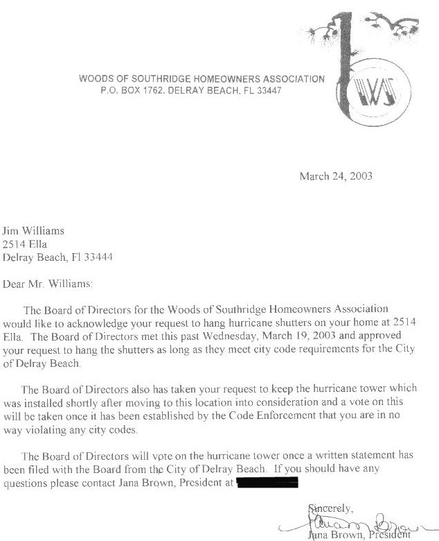
This is the letter of approval from the homeowners association to allow the tower placed in 2003.
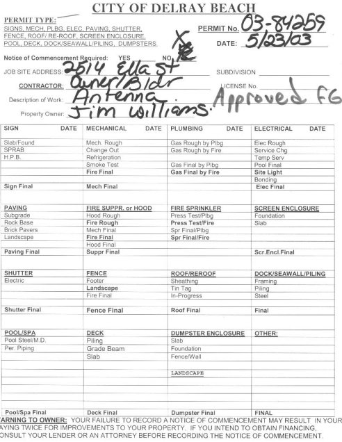
Here is the permit issued to construct the tower approved by the city in 2003.
STATUS: When tropical systems hit the HurricaneCity home base in Delray Beach, Florida we will be streaming the towercam on live stream below. Jim Williams may also be on the road with dash cam streaming live as well as our remote webcam set up on a beach. All of these cameras will be shown in combination with complete coverage of media, radars, etc. If a hurricane hits the southeast U.S. Jim Williams will be on the road with the dash cam & remote cam streaming live on the hurricane warning show.
Our weather obs on Weather Underground.
Summary of observations.
Bellmore, Long Island obs | Just north Lake Worth, Florida obs
Current Status....
New anemometer installed 8/2/25
Last Storm Date....
October 9th, 2024
Name....
Hurricane Milton hits Sarasota 117 miles to N.W
Highest Wind Gust....
46mph from the south
Lowest Pressure Recorded....
1001mb
Storm Rainfall Total....
Approximately 1/2 inch
Frances tree downed (pre towercam 2004) |
Katrina towercam video (Aug. 2005), T.S. conditions |
Towercam video of Wilma, October 24th, 2005 (2min 30sec) |
Spider on cam during thunderstorm (May 2006) |
January 17th, 2016 squall line |
October 7th, 2016, Hurricane Matthew 60 miles to northeast |
Hurricane Irma on September 10th, 2017 |
Severe thunderstorm at night 7/9/24