By Jim Williams August 20th, 2016
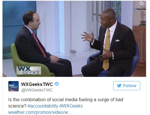
As of this post we have invest 99L in the east Atlantic with many models showing a threat to the United States down the road. Some models show an open wave others a hurricane but regardless social networks are buzzing with what could be. You see I have been tracking and commenting online since the late 90s with hurricanecity.com and even back then the forecast’s would run rampant on forums, chat rooms and live shows but as far as I know no one has died as a result. Now the tools to provide an opinion are everywhere mainly from Twitter and Facebook where you sign up and you have a platform for anyone to see. I have mixed feelings on social networks especially with the political climate we are in, is too much information or wrong information molding one’s decisions? As a hurricane tracking enthusiast I see some post’s that make me cringe like a 16 day GFS run showing a hurricane hitting Florida but lets face it the model information is out there for all to gather and post. I have observed many people I follow usually say “this is for entertainment purposes only” or “long range models are horrible” but others say nothing. If you are the first to post the 16 day GFS you get clicks, re tweets and followers because people love a crystal ball predicting their worst nightmare or wanted hurricane hit. Now the question is what can be done about it? or should anything be done about it? simple answer NO. Lets go back to pre long range models and a family has a vacation planned and does not have any idea a threat is possible in 2 weeks leaving home vulnerable or heading to the threat zone. You see most on camera TV mets will not touch a two week model showing their local market as a hit or show one on twitter so when an amateur forecaster/tracker shows it at least they have a clue. Others like The Weather Channel’s Marshall Shepard host of WX geeks makes it clear he is not a fan of weather enthusiast’s posting data that puts “lives at stake” and says there needs to be accountability, in this promo video for posting models are you kidding me?
Time to remind as tropical activity in Atlantic picks up....BEWARE of Social Media-rologists....just because posted doesn't mean credible
— Marshall Shepherd (@DrShepherd2013) August 20, 2016
Is the combination of social media fueling a surge of bad science? #accountability #WXGeeks https://t.co/CexVAPQpkt pic.twitter.com/t8xeITHV5Y
— WXGeeksTWC (@WXGeeksTWC) August 20, 2016
So what if they are not accountable? are we going to call the internet police, are we going to ban accounts? Another assumption that drives me crazy is that somehow this is putting peoples lives in danger without any example to show a weather death related to a tweet about a two week model. Listen I love the weather channel grew up with it watching some of the first on air forecast’s, I have had Dr Jeff Masters on my previous shows, love WUTV. You will never see Jeff Masters attack the amateur weather community as weather fans and amateur forecasters make weatherunderground what it is today regardless of whether they posted long range models or not. I have watched several WXgeek shows with some good guest’s but mostly omitting amateurs/hobbyist’s from the shows with subtle comments of “watch out for those reckless amateur’s” as pro mets agree with him is not a good look for The Weather Channel . I have been on the internet since the mid 1990s and have seen a lot of good material produced by amateurs and even used by the pros . So my advice to Dr Shepard embrace the hobbyist’s you may actually learn a thing or two from them, let them post to their hearts desires and at the end of the day let the Weather Channel provide the facts.


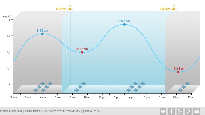 . The Big Bend,Florida area is very vulnerable to tidal flooding for even weak systems. Having been to Homosassa to the south for some fishing I quickly found out that a normal high tide can cause some close to shore roads to go under water. Even though Colin is not expected to become a hurricane due to wind shear, the strong S.W flow into this region could cause some problems. The good news is that this system should be moving very quickly which will minimize impacts and the later it hits on Monday the better. My specialty is the history of cities impacted by named storms and Cedar Key has not been affected by a hurricane since 1995 when Allison passed well to the N.W of here while hitting near Panacea,Florida. The past 20 years the area has luckily had 7 tropical storms rather than hurricanes. The only problem with this is that complacency sets in with the last serious impacts caused by hurricane Elena back in 1985 with 65 knot winds reported on Cedar Key with 3 to 6 ft tides. The current feature at hurricanecity is Cedar Key where you can get some localized info
 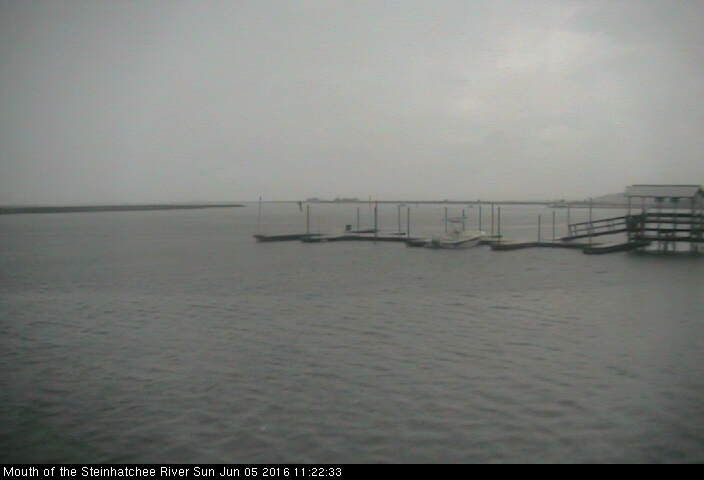 . Personally depending on landfall projections early on Monday I may try to head over to Anna Maria Island off Tampa Bay to set up my remote cam as I have not had a chance to deploy this since Isaac in 2012 in Key West. I will also have the dash cam going on